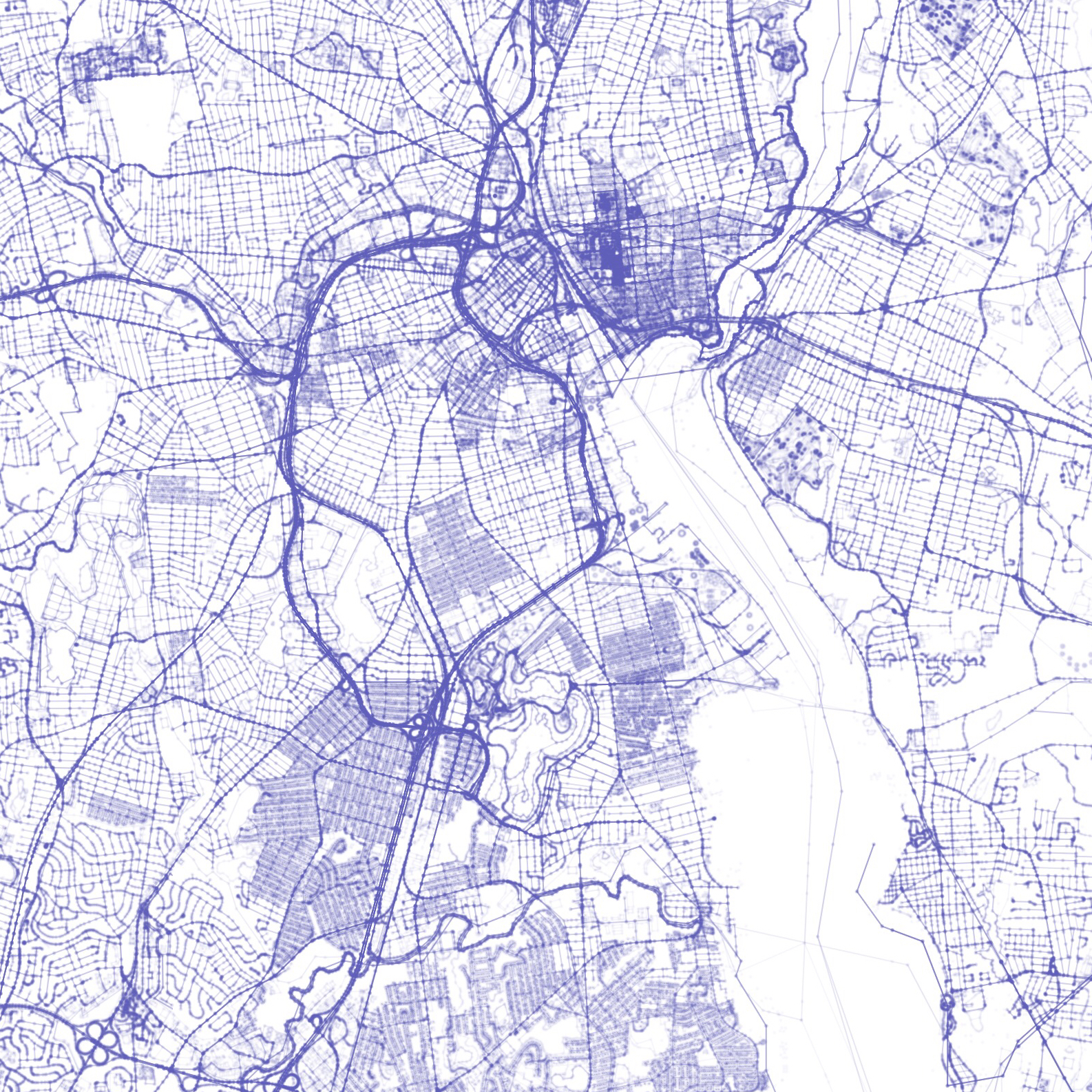
OpenStreetMap data infrastructure
I create pipelines so that anyone can use OSM data in large-scale analysis tools, such as Amazon Athena - recently featured in AWS's "Ten Big Open Data Stories from 2017". I'm currently building off this work so that users can query OSM's entire data history in minutes - enabling them to search through 7.3 billion records, returning full geometries and all metadata. Beyond just building technology, I'm a member of the OSM-US Board of Directors, which supports local mapping communities, liaises with corporations and institutions, and promotes the use of OpenStreetMap in the US.